Monsoon Outlook in Santa Fe: What the Latest El Niño Forecast Suggests for Summer Rain

A quick ENSO refresher and why this winter felt so different
The El Niño–Southern Oscillation (ENSO) is a naturally recurring pattern of ocean temperature and atmospheric circulation changes over the tropical Pacific that can shift weather patterns far from the tropics, including across North America.
- El Niño is the warm phase (warmer-than-average sea surface temperatures in the central/eastern tropical Pacific), while
- La Niña is the cool phase (cooler-than-average sea surface temperatures there).
Even though ENSO is a tropical phenomenon, it matters here because it can influence the position and strength of the jet stream and storm tracks that deliver (or miss) our precipitation—especially in the cool season.
This past winter’s pattern was consistent with La Niña impacts in New Mexico, which often tilt the odds toward drier-than-normal cool seasons (winter into spring), while El Niño tends to tilt the odds wetter. In fact, New Mexico’s 2025–26 winter has been widely described as exceptionally warm and snow-starved at the statewide scale, with the National Weather Service in Albuquerque citing record-low mountain snowpack and well-above-normal temperatures.
Locally, the story in Santa Fe has been the same theme: very limited snowfall in town and a slow start to spring moisture. In your local tally, Santa Fe has only picked up about 6.3” of snow so far this season, compared with about 22” in a “typical” winter.
La Niña is fading: why we’re entering neutral now and what that usually implies for spring
The latest official update from the NOAA Climate Prediction Center (issued March 12, 2026) indicates that La Niña is expected to transition to ENSO-neutral within about the next month, with ENSO-neutral favored through May–July 2026.
That “neutral” label does not mean “normal weather.” It simply means the tropical Pacific is not strongly tugging the atmosphere toward either El Niño-like or La Niña-like patterns. When ENSO is neutral, other drivers—shorter-term Pacific variability, land-surface dryness, and regional circulation patterns—often have more influence, and predictability can drop.
For northern New Mexico, the near-term baseline matters too: going into spring, the state has been dealing with record-low snowpack and very warm conditions, which can accelerate drying of soils and fuels and reinforce a warm, dry pattern locally.
62% chance of El Niño developing by early summer, with persistence likely
Here’s the key forecast signal to watch.
In the same March 12, 2026 diagnostic, the CPC states:
- El Niño is likely to emerge during June–August 2026, with a 62% chance, and
- if El Niño forms, it is expected to persist through at least the end of 2026.
CPC also emphasizes that the strength of a potential El Niño remains uncertain. Still, their current guidance includes a notable risk tail: about a 1-in-3 chance the event could be “strong” by October–December 2026 (Niño-3.4 at or above +1.5°C).
It’s worth highlighting what forecasters mean by “developing in time.” ENSO’s strongest and most reliable regional effects in the Southwest are typically in the cool season (late fall through spring), while the summer monsoon signal is weaker and more conditional. So for monsoon impacts, timing (how quickly the ocean–atmosphere coupling ramps up) can matter as much as whether El Niño happens at all.
What El Niño could mean for the summer monsoon in Santa Fe
First, a reminder of the monsoon season we’re talking about
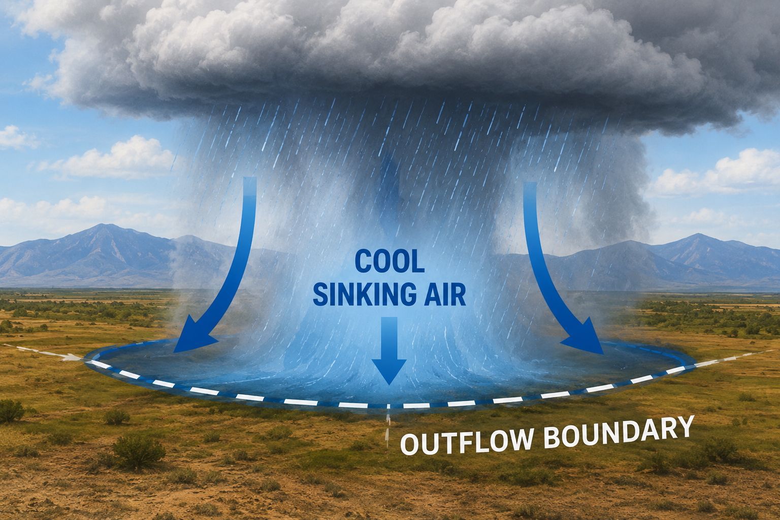
For New Mexico, the National Weather Service commonly defines the North American Monsoon season as June 15 through September 30. This is when subtropical moisture surges northward and fuels our familiar pattern of afternoon thunderstorms—highly variable from day to day, neighborhood to neighborhood, and year to year.
Because it’s so localized, “good monsoon” can mean different things depending on where you measure, and even strong large-scale climate patterns don’t guarantee consistent outcomes in any one community.
The research consensus: ENSO–monsoon links exist, but they’re not as strong as ENSO’s winter signal
NOAA’s climate science communicators have been blunt about this: ENSO is not strongly linked to North American monsoon rainfall in a simple, reliable way, especially compared with its well-known winter impacts.
Some studies have suggested tendencies (for example, El Niño sometimes aligning with lower July–August rainfall and La Niña with higher early-monsoon rainfall), but the relationship is not robust enough to treat as a “rule.” Additionally, monsoon rainfall in New Mexico and Arizona can vary in statistically independent ways, implying the regional controls can differ across the monsoon domain.
My Monsoon Forecast
That being said, I went ahead and studied all the El Niño years dating back to 1952 and found that 74% of those years corresponded to an above normal monsoon season for Santa Fe. There are certainly bigger patterns at play, but from a completely statistical view, we have a good chance of seeing above normal precipitation this summer. And the long range forecasts from the Climate Prediction Center are starting to show that possibility too. It certainly would be a welcome change from the incredibly dry weather we've been experiencing this winter and spring.
Could this become a strong El Niño, and does “strong” automatically mean a wetter monsoon for Santa Fe?
The CPC’s current outlook notes that if El Niño forms, there is meaningful uncertainty in how strong it ultimately becomes, including a ~1-in-3 chance of “strong” intensity by October–December 2026.
A stronger El Niño can matter because stronger events tend to produce more pronounced, more coherent global circulation anomalies—and therefore can sometimes generate clearer regional impacts. However, for the Santa Fe monsoon:
- There is no reliable, one-direction rule that a “strong” El Niño means more or less monsoon rainfall in Santa Fe.
- The monsoon is influenced heavily by subtropical ridge position, gulf surges, and mesoscale storm processes that can overwhelm weak-to-moderate ENSO teleconnections.
Where “strong” may matter more directly is later in the year, when ENSO teleconnections to North American storm tracks typically strengthen.
The bigger payoff may be later: what El Niño often means for fall and winter in New Mexico
Even though this article focuses on summer, it’s hard to ignore what the CPC is hinting at: El Niño is not just a summer storyline this year. If it develops as forecast and persists, it could shape the second half of 2026.
For New Mexico, the National Weather Service notes that wetter-than-normal conditions are more likely during El Niño events and drier-than-normal conditions are more likely during La Niña events, particularly during the cool season (winter and spring).
Why that matters right now: this winter’s snow drought and warmth have been severe enough that statewide impacts are already visible. Reporting in mid-March 2026 highlighted record-low statewide snowpack and unusually warm winter temperatures, and noted pressure on winter recreation and water supply concerns. The snow drought has also been tracked in federal drought communications for the West, underscoring how widespread and consequential the deficit has been.
So if El Niño persists into the late fall and winter—as CPC currently expects—the “weather headline” may shift from Can the monsoon break the dry spell? to Can winter storms finally rebuild snowpack?
This is especially relevant for the northern New Mexico high terrain and ski areas, including Ski Santa Fe, where an unusually poor snow year has tangible operational consequences and magnifies the value of any rebound winter.
I'll continue to monitor the El Niño forecast and its impacts on our weather in Santa Fe. For now, it is a hopeful signal that the pattern will be changing.
Santa Fe Weather